
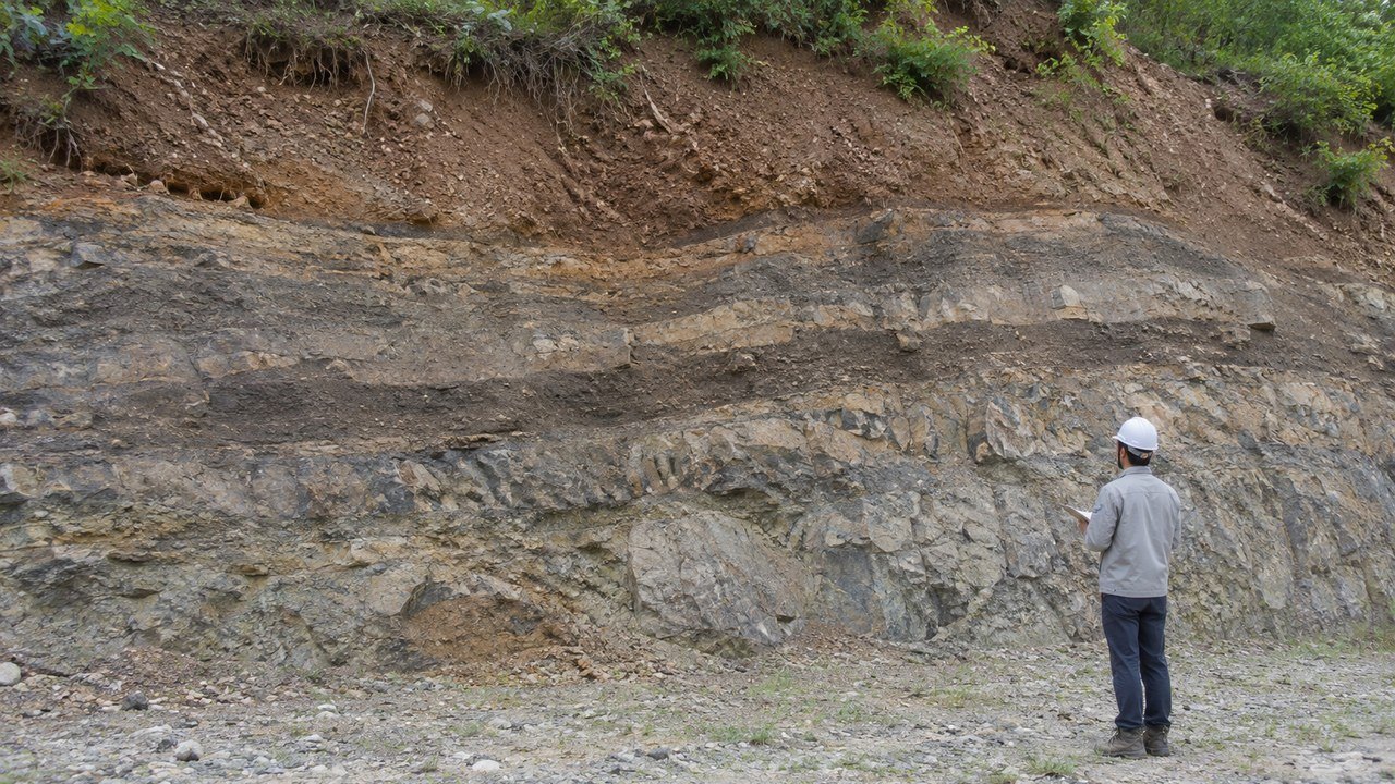
[DiaryPoint = Reporter Kim Jeong-hun] On Nov. 9, 2026, the Korea Meteorological Administration (KMA) released the ninth episode of its “Earthquake Misconceptions Fact Check” series, introducing the distribution of faults on the Korean Peninsula and how earthquakes occur. The video addressed the difference between faults deep underground and active faults, as well as whether the peninsula is a seismically safe zone.
A fault is a fracture in Earth’s crust where rock on either side has shifted. An earthquake can occur if the fault moves again. The KMA’s earthquake guidance defines active faults as those that have caused surface ruptures or deformation since the Quaternary Period, which began about 2.58 million years ago and continues to the present.
Research in South Korea is divided by purpose. A 2017–2021 phase report published by the Korea Institute of Geoscience and Mineral Resources describes research into past earthquakes using traces of surface deformation and the structural subdivision of fault segments. The KMA has also conducted research to build an integrated model of underground faults and seismic velocity structures using earthquake monitoring data and other sources.
According to KMA materials, the first phase of underground-structure research ran from 2018 to 2021 and covered the Seoul metropolitan area, the Yeongnam region, and the southern East Sea. The second phase is scheduled for 2022–2026 and covers Gangwon Province and the central East Sea. The Ministry of the Interior and Safety is separately conducting research on active faults at the surface, while relevant legislation provides a basis for surveying faults across the Korean Peninsula and building an active-fault database.
A fault’s appearance on a map, by itself, does not reveal when an earthquake might occur or how much damage it could cause. Understanding local risk requires looking at fault locations and activity histories alongside seismic monitoring and analysis of ground conditions. The KMA’s underground-structure research in Gangwon Province is scheduled to continue through 2026.